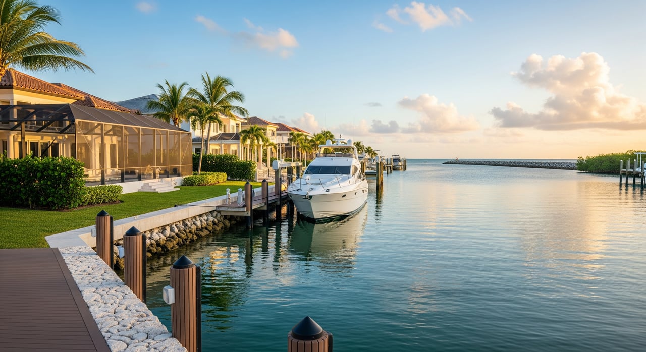
Picture this: you step from your lanai to your dock, cast off, and cruise straight to San Carlos Bay for lunch. If you are exploring Cape Coral from out of state, the canal options and boating rules can feel complex. This guide gives you the essentials on gulf-access canals near Cape Harbour, including bridge clearances, depths, permits, and a practical checklist for showings. You will walk away confident about what to ask, what to measure, and where to verify the details that matter. Let’s dive in.
What gulf-access means in Cape Coral
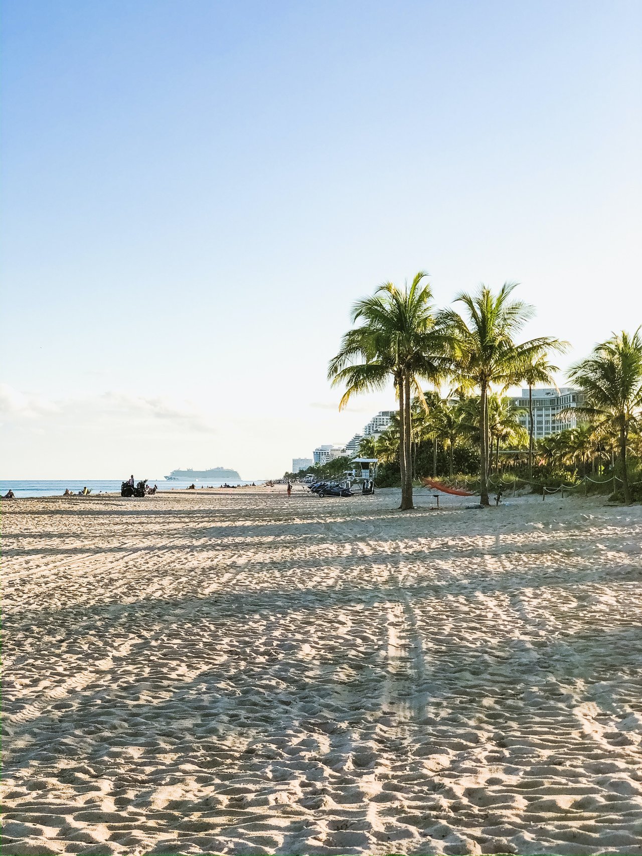
Cape Coral is famous for its canal network, commonly cited as more than 400 miles of waterways. These canals connect to the Caloosahatchee River and then to San Carlos Bay, which leads to the Gulf of Mexico. Not every canal offers the same experience, so it helps to know the categories you will encounter.
- Direct gulf-access canals. These offer a continuous waterway from the property through the canal network to the river and bay without fixed obstructions that block typical powerboats. You still need to account for bridge clearances and depth along your chosen route.
- Restricted-access canals. These may have cul-de-sacs, tight turning areas, shoaling, or low fixed bridges nearby that limit taller boats. Smaller boats can often pass, but the route and tides matter.
- Non-gulf or non-navigable canals. Some canals are too shallow or blocked by sills, private gates, or unpermitted structures. These lots can be canal-front but not practical for navigation.
Cape Harbour quick note
Cape Harbour is a mixed-use marina and residential community in southeast Cape Coral with slips and commercial marina services. For any home, condo slip, or marina berth, you should confirm slip depth, whether the slip is owned or leased, and typical transit times to the river and Gulf with the marina or HOA.
Key boating terms that matter
A few measurements and definitions will help you match a property to your boat and lifestyle.
Air draft and bridge clearance
- Air draft is the distance from your boat’s waterline to its highest fixed point, such as a hardtop or radar arch.
- Bridge vertical clearance is the published height available under a bridge. Your boat’s air draft must be less than this number, with margin for safety.
- Always confirm the tidal datum used for a posted clearance and consider tide, loading, antennas, and gear.
Depth, tides, and shoaling
- Mean Low Water (MLW) and Mean High Water (MHW) are reference points for depths and clearances. Charted depths often use a tidal datum, so confirm what the figure represents.
- Channel depth can vary with tides and seasonal shoaling. Ask for the depth at the dock at MLW, not just an estimate at high tide.
- Shoaling is sediment buildup that reduces depth. Shoals can form in channels and around docks, especially after storms.
Boat size and maneuvering
- Beam is the width of your boat. LOA is length overall. Both matter for turning space in canals and for slip dimensions.
- Ask about turning room near the property and any tight bends or cul-de-sacs that could complicate maneuvering.
Dock and lift basics
- Common terms include seawall (bulkhead), piles, boat lift, floating dock, and finger pier.
- Verify lift capacity, age, and service history. Check for working electrical and potable water at the dock and the presence of GFCI outlets.
Permits, rules, and maintenance dredging
- Confirm dock and seawall permits, recorded easements, and any HOA or marina rules that limit boat size or use.
- Ask who is responsible for maintenance dredging of a canal segment and when it last occurred.
- Expect no-wake zones and local speed rules near canals and shoals.
Bridges, locks, and daily boating
Are there locks on the route to the Gulf?
In general, Cape Coral’s canals connect to the Caloosahatchee River and San Carlos Bay and provide direct access to the Gulf without locks for typical recreational boaters. You avoid lock fees and waiting, but you are also more exposed to tide, storm surge, and river level changes at your dock.
Fixed bridges shape your options
Fixed bridges set the maximum height that can pass along a route. Confirm the exact bridges on your path to the Gulf and the published vertical clearances from authoritative sources. Compare those to your boat’s measured air draft and allow margin for tide, loading, and real-world conditions. Sailboats and tall flybridge trawlers require extra diligence.
Drawbridges and procedures
Drawbridges are less common on the direct Cape Coral-to-Gulf route. If your boating plans include other segments of the Intracoastal Waterway, check opening schedules and communication procedures before you go.
Practical effects on ownership
- Bridge limits may determine whether you can keep a given boat at your home dock or must use a marina.
- Condo, HOA, or marina rules can set maximum boat length and height.
- Limited access for larger boats can influence insurance availability and future resale.
What to check on showings
Use these quick checks during tours or request the details in writing.
- Seawall and dock condition. Look for cracks, leaning pilings, gaps, concrete spalling, and rusted hardware. Ask for the seawall age, repair history, and permits.
- Depth at the dock. Request a recent measured depth at MLW. If the seller cannot provide one, plan a low-tide visit with a marine contractor for a sounding.
- Boat lift and utilities. Verify lift capacity and service history. Check dock electrical and potable water lines, and confirm GFCI protection where required.
- Permits and recorded documents. Ask for copies of dock and seawall permits, any recorded easements or riparian rights, and HOA or marina rules about slips and guest docking.
- Distance and transit times. Ask for typical time from the dock to the Caloosahatchee River and to San Carlos Bay/Gulf at normal cruising RPMs and typical water levels.
- Nearest bridges. Identify any fixed or drawbridge on your route and the published vertical clearance.
- Navigation constraints. Note no-wake zones, narrow turns, or local shoals that could affect maneuvering larger boats.
- Neighboring traffic and wakes. Observe the number and size of neighboring boats and the frequency of wakes hitting the seawall.
- Flood and insurance details. Request the FEMA flood zone, any available elevation certificate, a summary of any flood or storm claims, and the current flood insurance premium.
- Environmental notices. Ask about seagrass protection areas, manatee zones, recent dredging, or mitigation work that could affect use.
Smart questions to ask before you offer
- Who maintains this canal segment and funds maintenance dredging? When was the last dredge and are future schedules published?
- Are there recorded restrictions on boat size, boat type, or hours of operation for this canal or marina?
- Can the seller provide permits for dock and seawall work, plus any coastal construction documentation?
- Are there pending municipal or neighborhood projects that could alter access, bridge clearances, or water quality?
- What are the slip terms at the home or marina, and what are the current fee schedules for services like fuel, electricity, pump-out, and transient guest docking?
Environmental, permits, and safety essentials
Agencies and records to consult
- City of Cape Coral for building and marine permits and canal maintenance responsibilities.
- Lee County property and shoreline records for easements and county-level waterway work.
- Florida Department of Environmental Protection (FDEP) for coastal construction, submerged lands leases, and state permits.
- U.S. Army Corps of Engineers (USACE) for federal permits involving navigable waters and dredging.
- NOAA nautical charts and U.S. Coast Guard Local Notice to Mariners for charted depths, hazards, and temporary changes.
- FEMA Flood Map Service Center and any available elevation certificate to clarify flood zones and insurance implications.
- Florida Fish and Wildlife Conservation Commission (FWC) for boating safety, speed zones, and protected species rules.
Protections that affect how you boat
Many local waters include seagrass, mangrove, and manatee protections. Expect designated speed limits, no-wake areas, or rules that restrict anchoring or prop scarring. Violations can result in fines and repair liabilities, so plan your routes and speeds accordingly.
Flood, insurance, and storm preparedness
- Flood zone classification can materially affect insurance premiums and lending. Obtain a flood insurance quote early in your process.
- Southwest Florida is hurricane-prone. Review seawall integrity, confirm tie-down options for boats or identify safe marina berths, and review any HOA or marina storm procedures.
- Confirm dock electrical safety, potable water labeling, and availability of services like pump-out if you plan extended stays onboard.
How to verify key facts with confidence
Use this step-by-step approach to build certainty before you commit.
- Measure your boat’s air draft. Include antennas, radar, and typical gear configuration at the dock.
- Map your route from the property to the Caloosahatchee River and San Carlos Bay. List each bridge along the way.
- Confirm bridge clearances with authoritative sources and compare to your measured air draft at the correct tidal datum.
- Obtain a recent dock sounding at MLW and ask about any known shoaling along your route. Consider a marine contractor’s opinion after storms or unusually low water.
- Pull permit files from the City of Cape Coral and request copies of dock, seawall, and any coastal construction permits from the seller.
- Check the U.S. Coast Guard Local Notice to Mariners for temporary hazards, shoaling notices, or changes to aids to navigation.
- Verify your flood zone through FEMA resources and obtain insurance quotes from your carrier early.
- Speak with Cape Harbour marina management about slip depth, owned vs leased slips, and typical transit times to the river and Gulf.
Cape Harbour specifics to keep in mind
Cape Harbour’s marina setting adds flexibility for many owners. If your boat’s air draft exceeds a nearby bridge, a marina slip can solve practical constraints while you enjoy a waterfront home. Always confirm the specific slip’s depth, dimensions, and terms, and ask for published or typical transit times from the marina to the river and to San Carlos Bay.
The Potter Trinity advantage
Waterfront success in Cape Coral is about matching your boat and lifestyle to the right property, then verifying the details that protect value. As a boutique brokerage with deep local roots, we combine seasoned residential advisory with builder and commercial insight to simplify decisions around seawalls, docks, permitting, and even lot-to-build planning. Our consultation-first process is straightforward: we meet to understand your goals, create a customized plan, and then you rest while we work.
If you are weighing a home near Cape Harbour or comparing marina options to a private dock, our team can coordinate the due diligence and connect you with the right marine and permitting resources. When you are ready, schedule your consultation with Potter Trinity.
FAQs
What does gulf-access mean in Cape Coral for homebuyers?
- It means your canal route connects to the Caloosahatchee River and San Carlos Bay, allowing you to reach the Gulf without typical obstructions for most recreational boats, subject to bridge heights and depth.
Are there locks between Cape Coral canals and the Gulf for typical boats?
- In general, no. Most recreational routes from Cape Coral to the Gulf do not require locks, which reduces delays but also means your dock water levels follow tides and river conditions.
How do I confirm my boat will fit under bridges near Cape Harbour?
- Measure your boat’s air draft and compare it to published bridge vertical clearances for your route at the correct tidal datum, allowing a safety margin for tides and loading.
What should I look for in a seawall and dock during a showing?
- Check for cracks, leaning, spalling, and rusted hardware; verify lift capacity and GFCI outlets; and ask for permits, repair history, and a recent depth measurement at MLW.
Who maintains canal depths and dredging in Cape Coral?
- Responsibility varies by canal segment. Ask the seller, HOA, or City of Cape Coral who handles maintenance dredging, when it last occurred, and whether future work is scheduled.
How do flood zones affect waterfront homes in Cape Coral?
- Flood zone classification influences insurance cost and lending. Verify the FEMA flood zone, request any elevation certificate, and get quotes early in your purchase process.
Can I dredge my dock area to increase depth?
- Dredging typically requires permits and environmental review through agencies such as FDEP and the U.S. Army Corps of Engineers, so plan for time and compliance costs.